
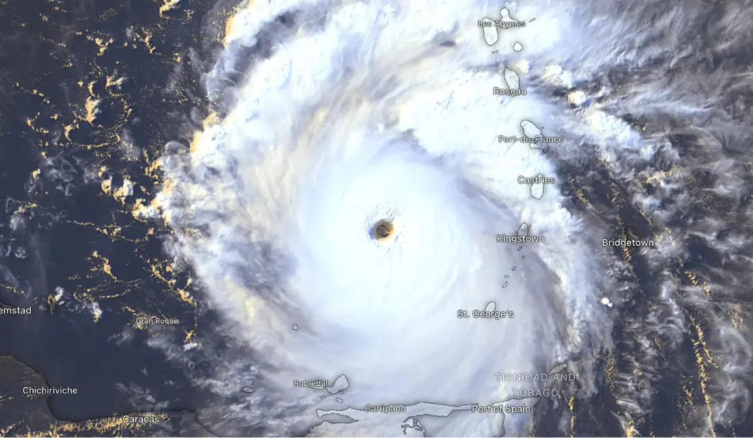

How to Watch Hurricanes and Tropical Storms in Windy
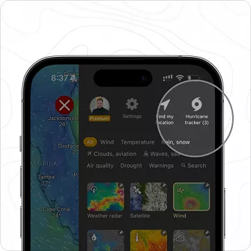
We recommend using satellite imagery to see a hurricane in real-time. If you want to track the forecast, we recommend doing so with wind, gust, wave, or wind accumulation layers.
Latest Update on Tropical Storm/Hurricane Beryl

A hurricane warning is in effect for the area on the projected path, where conditions are anticipated to deteriorate by Wednesday and Thursday, bringing destructive winds and life-threatening storm surges.
NHC Key Messages for Tropical Storm Beryl
All warnings (CAP alerts) issued by local met offices can be found in the Weather Warnings layer

 Jari Sochorová

 Nicole Dolezalova







Comments (3)
I had great interest in Beryl, as a family member lives on the Yucatan peninsula. Three models available: NHC-At, UKM, ECMWF
In general, NHC-At has been pretty good, ECMWF unrealistically low, and UKM truly crazy-low.
On Wed as Beryl approached Jamaica, I noted that just after a forecast update the discrepancy became rather extreme. Current wind speed was ~140mph. The noon forecast, only a few hours later, was literally a drop to half that in the UKM model, and a bit less extreme in ECMWF. Even 3 hours before noon, with wind speed increasing, the UKM forecast only increased to 80mph.
The result: only the NHC-At model gave me any sense that it could produce a believable forecast.
Why are the other two models used at all for this purpose?