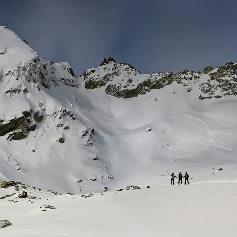
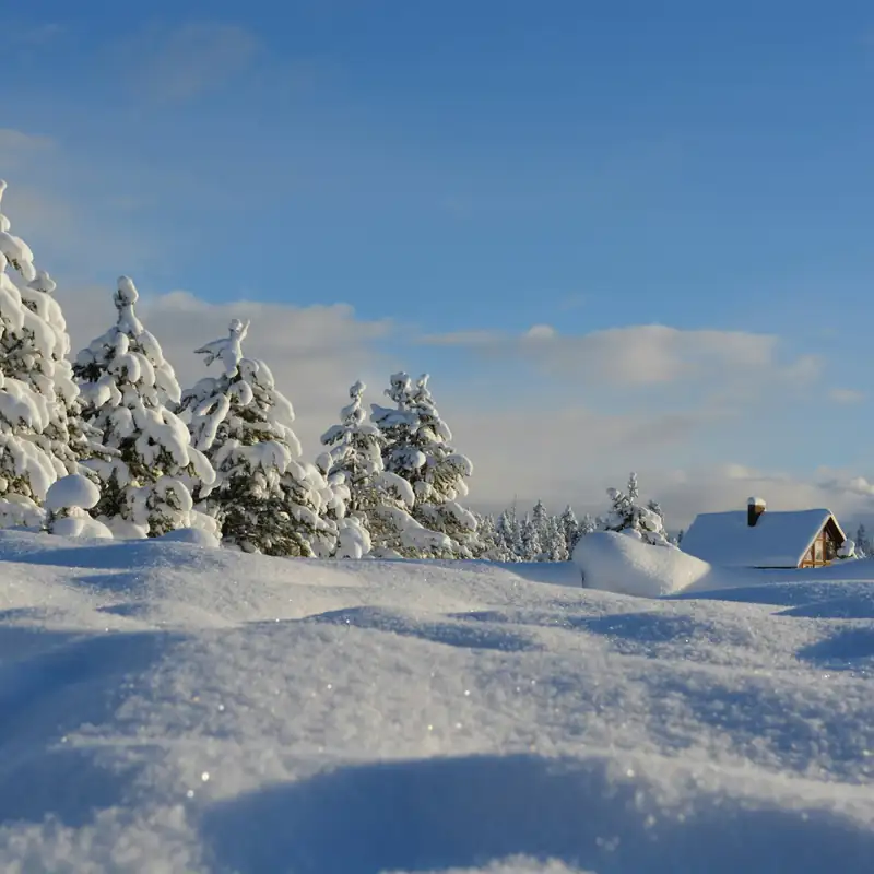
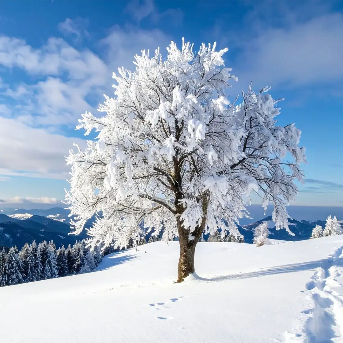
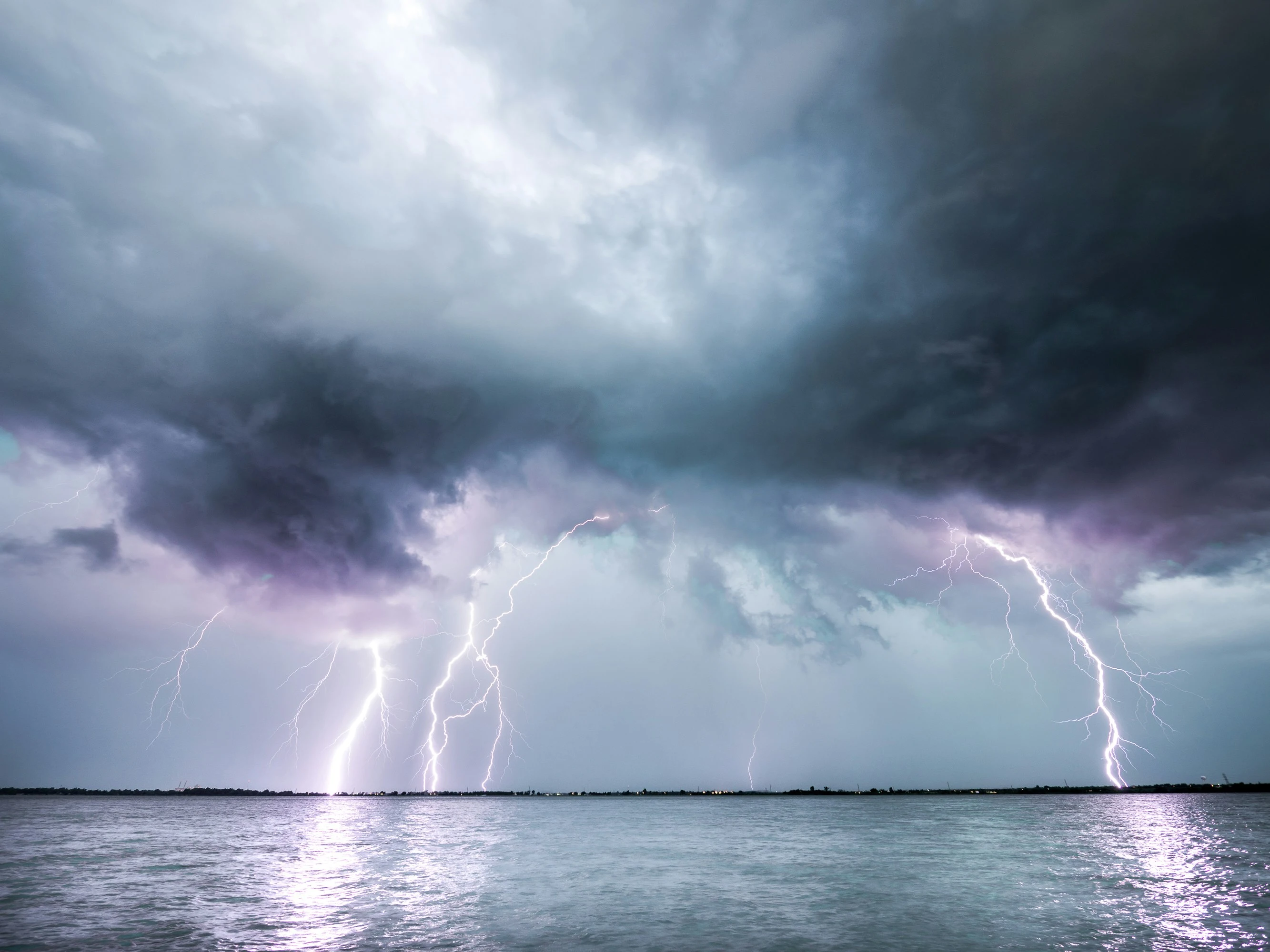
Spending time in snow covered mountains is one of winter’s greatest joys ❄️⛷️
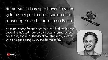
Robin Kaleta has spent more than 15 years moving through big mountain terrain, guiding groups and teaching freeriders how to read the snow. Over time, he has seen how quickly conditions can shift, how a slope that looked perfect a moment ago can suddenly behave differently than expected. Experiences like these shaped his habit of always looking deeper, into the structure of the snow, the small weather changes, and the details that most skiers overlook. 🎿
Avalanches can release suddenly, often triggered by a weak layer hidden deep in the snowpack or by something as small as a skier stepping onto a loaded slope. Understanding how avalanches form, how weather influences them, and how to use tools like Windy to evaluate conditions is essential for anyone heading into the backcountry.

How Avalanches Form (The Essentials)
Snowpack Balance ⚖️
A snowpack fails when shear stress exceeds shear strength, often due to additional loading such as fresh snow or the weight of a skier, or weakening of the structure due to warming. This imbalance causes sudden release and rapid downslope movement.
Weak Layers 🧊
Weak layers are zones of poorly bonded snow crystals.
They form:
- between layers of different hardness
- from faceted crystals
- from surface hoar that becomes buried by new snow
- above melt freeze crusts
These layers transmit weight poorly and are common failure planes for slab avalanches.
Types of Avalanches ⚠️
One of the most dangerous for skiers is the slab avalanche, where an entire plate of snow breaks off and slides as a block. In the Alps, roughly 115 people die in avalanches each year, most in slab avalanches.

Source: Ortovox Safety Academy
Other types include
- Dry powder avalanches, extremely fast 145 to 300 km h or 90 to 190 mph.
- Wet snow avalanches, slower but very heavy, occurring during rain or thaw.
- Full depth glide avalanches, the entire snowpack sliding on smooth ground during prolonged warming. 🌡️
Source: Laviny v Cesku
What influences Avalanche danger?
1. Terrain
Terrain is one of the strongest factors influencing avalanche formation, and slope angle is the most critical element. Most avalanches occur on slopes between 30 and 45 degrees, with accidents most frequent around 39 degrees, where even small changes in load can tip the balance.

Surface characteristics also play a major role. Smooth ground, such as grass or rock slabs, allows the entire snowpack to slide easily, which is why full depth avalanches often occur there. In contrast, north facing slopes stay colder and preserve weak layers for much longer, making them especially prone to slab avalanches. South facing slopes become hazardous during warm or sunny periods, when the snow rapidly loses strength and wet snow avalanches become more likely.
Wind exposure completes the picture. Leeward slopes often accumulate drifted snow that forms slabs and cornices, both of which may fail under very little additional load. These wind loaded areas are among the most common triggers for skier induced avalanches, even when surrounding terrain appears stable.

Sources:
Avalanche Encyclopedia, Harvey 2002, SLF report, ISSW13 paper, Ortovox Safety Academy
2. Snowpack Structure 🧱
The snowpack evolves constantly as weather and temperature reshape its layers. Rounding, the process where crystals lose their sharp edges and settle, generally increases stability. Faceting does the opposite, creating large, angular grains with weak bonding that form some of the most persistent and dangerous weak layers.

Melt freeze cycles further complicate stability. When the snow warms, liquid water reduces strength, and once it refreezes it forms crusts. These crusts may briefly stabilize the surface, but new snow that falls on top often bonds poorly, increasing the likelihood of slab avalanches.
Several clear signs point to instability, including fresh avalanches, “whumpfing” sounds from collapsing layers, shooting cracks, or wind formed slabs and cornices. To better understand conditions below the surface, forecasters dig profiles and perform stability tests such as the CT, ECT, or RB, which reveal how easily a weak layer might fail, though they represent only one specific spot in a much larger area.
Sources:
Ortovox Safety Academy
3. Weather
New snowfall is one of the fastest ways to destabilise the snowpack. When around 20 to 30 centimeters of fresh snow accumulate over a short period, the added weight can overload existing weak layers and significantly raise avalanche danger. Under unfavorable conditions, especially when strong winds accompany colder temperatures, even 10 centimeters may be enough to form unstable slabs because the new snow bonds poorly and is quickly redistributed by the wind. 🌨️

Wind is often the main architect of avalanches. As it transports snow from windward to leeward slopes, it scours the exposed side while depositing dense slabs and forming cornices on the sheltered side. These wind built slabs are usually hard, compact, and poorly anchored to the layers beneath, making them highly sensitive to even small triggers. This is why avalanche danger often rises sharply right after windy weather. 💨

Temperature also plays a key role. The snowpack tends to be most stable when temperatures fluctuate gently around freezing, allowing thin melt freeze cycles that help layers bond. Prolonged cold below minus 10 degrees Celsius encourages the growth of faceted grains, creating persistent weak layers, especially on shaded slopes. Warm spells or rain saturate the snow with water, reducing its strength and increasing the likelihood of wet snow avalanches. When the water refreezes, it forms a crust that may stabilize the surface temporarily, yet new snow falling on top often bonds poorly, once again raising the level of risk. 🌡️
Source: Ortovox Safety Academy
Avalanche Forecasts
Avalanche centres such as EAWS in Europe and regional systems in Japan, China, South America, and North America use five level danger scales and standardized terminology.
Forecasts describe
- danger level 1 to 5
- aspects and elevations affected
- avalanche problems such as new snow, persistent weak layers, wind slabs, wet snow, or gliding snow
- recent weather and expected trends
- terrain recommendations
This forecast is your primary source for safety, and Windy complements it with real time and forecasted weather.

Source: National Avalanche Centre
Using Windy to Make Safer Decisions in Winter Terrain

Windy does not replace an avalanche forecast, but it gives you essential situational awareness such as snowfall, wind loading, visibility, freezing level, warming trends, and real time webcam confirmation.
Check Current Conditions
- Radar Rain, Snow, see where precipitation is falling now and how fast it moves.
- Satellite, identify incoming cloud bands, clearing windows, and storm structure.
- Weather stations, compare observed wind, temperature, and snowfall.
- Soundings, identify the freezing level and potential rain snow transitions.
- Webcams, confirm snow depth, visibility, wind effect, and actual slope conditions.
Key Forecast Layers for Avalanche Safety

Key layers: 🌨️ New snow 📏 Snow depth 💨 Wind and Wind Gusts ❄️ Freezing level 🌡️ Temperature ⛈️ Rain, Thunder ☁️ Cloud layers
Point Forecast Meteogram
A single tap gives you
- Temperature curve showing warming or cooling trends
- Wind at multiple levels indicating slab formation risk
- Precipitation evolution showing loading periods
- Freezing line showing dry versus wet snow conditions

Distance and Planning Tool
Useful for skiers planning traverses or approaches
- Track elevation profile
- View wind and precipitation along the route
- Check temperature and humidity gradients
Expert Perspective 🎿
Robin Kaleta highlights that the most important decisions happen before entering the slope.
“People look at fresh powder but not at the weather that built it. The last 48 hours, snowfall, wind, warming, tell you more about the slope stability than what you see at the surface.”
His 3 essential pre tour questions
- What did the weather do recently?
Windy’s precipitation, wind, and temperature layers provide a quick overview - What is happening right now?
Check webcams, radar, satellite - What terrain am I planning to enter?
Slope angle, aspect, leeward loading, terrain traps
He adds
“Windy doesn’t decide for you, it shows you the invisible. Safety depends on how you read it.”
Final Notes
Always check the official avalanche bulletin first.
Use Windy to understand the weather processes that create and change avalanche danger.
Adapt your plan to local conditions and your group’s abilities. 🏔️🤝


Comments (0)